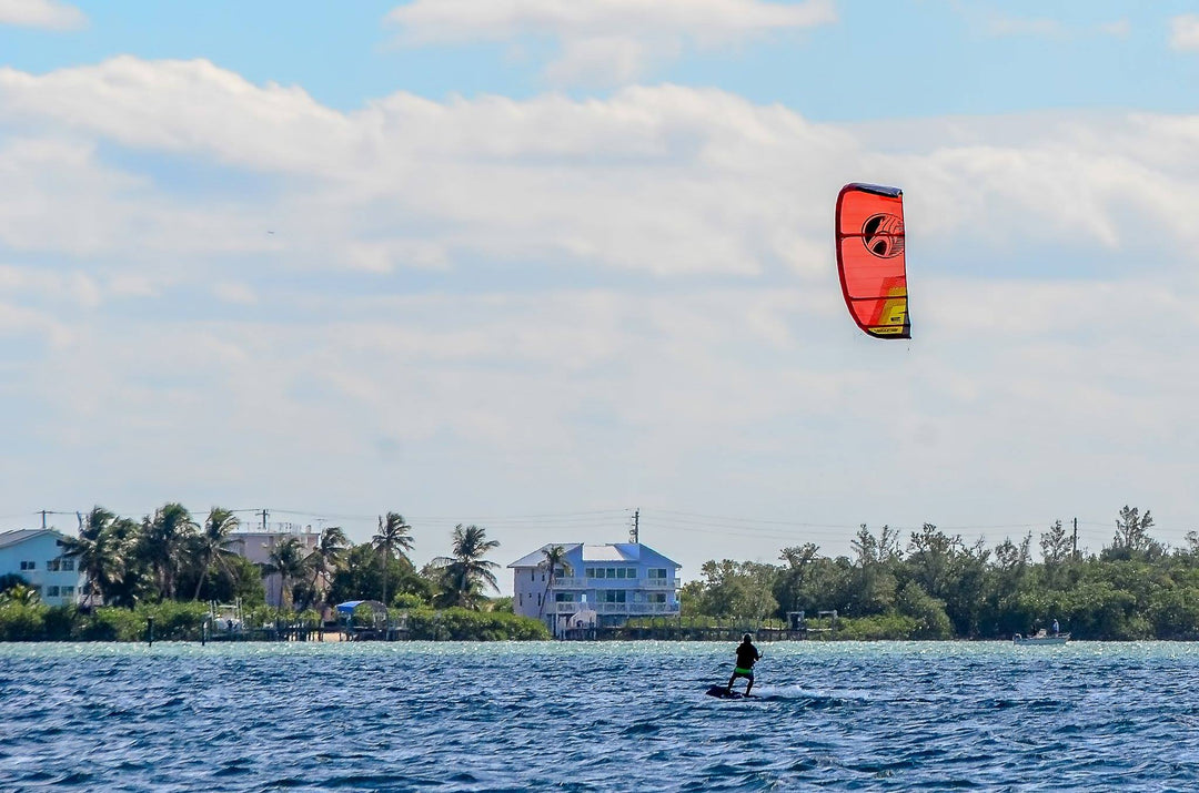

Florida Kiteboarding Season and Cold Fronts
What are seasonal cold fronts and how do they affect the Kiteboarding season? There are four types of fronts, warm fronts, cold fronts, occluded fronts and stationary fronts. Generally for our area the most powerful wind conditions will be associated with a strong, fast moving, cold front. Cold fronts are marked on the weather map by a long solid blue line with triangles attached to it. By looking at a weather map and comparing the temperature difference both ahead and behind the cold front, you can get a general idea of the cold front’s strength and therefore take a guess of the strength of the wind associated with it. Generally a greater temperature gradient will equate to higher wind. Next, you can determine the front’s direction of travel by looking at the triangles; these triangle will point in the direction the front is headed.
Typically in our area, but not always, a front approaching from the north or north east will create a south or south west wind as it approaches. As it passes a stronger northerly wind will occur. As the front progresses further south, the wind will usually switch to a more easterly direction. If the front approaches from a more westerly direction, we will typically get a north west wind. These north west winds are typically less favorable for kiting in our area as the winds are much colder and extremely gusty. However, as the front progresses further south, the wind typically switches to a more favorable northerly and eventually easterly flow. Depending on the strength of the cold front, it will often stall just to the south of our area and become stationary. As it does, the wind and seas will often relax. A stationary front is marked by a line of blue triangles pointing one direction and red domes pointing in the other direction.
Another strong wind generator for our area is a warm front. These are marked with a red line and red domes facing in the direction of travel. These fronts typically form in our area after a cold front stalls, becomes stationary and then warm air starts to build up behind it. When this occurs, it can convert the stationary front into a warm front and will often bring a southerly wind to our area. These southerly winds are typically best when aided by a sea breeze. Therefore it is best to schedule your kiting on hot sunny afternoons when there is a strong thermal. This is usually marked by flat bottomed clouds over land and a clear blue sky at sea. During these events winds on and near the coast are expected to be between 15 and 25 knots.
There are many more types of weather phenomena that bring wind to our area from pressure gradients to low pressure systems. However warm and cold fronts are the most common wind generators. Hopefully this information gives you a better understating of our local wind patterns, gaining you more days on the water and less time looking out the window. Just remember that at the end of the day mother nature does whatever she wants and she will win every time.